Advertisement
Published: March 4th 2018

 Trans America Route
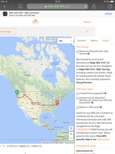
This is the planned route I will take.I’m now well into the planning stage of my trip. In order to do this right, I have purchased the Adventure Cycling Trans America Map package.
From those maps I have almost completed converting them to .GPX files via Ridewithgps.com. This is a fabulous website which uses a satellite Map template as a basis to plot your own bike route. It shows bike paths as well where they exist!
It enables one to actually get a vicarious view of the route. I will transfer those .GPS files into my Garmin edge computer, an easy process.
I considered buying a new bike for the trip but realized the Surly Long Haul Trucker I used down the West Coast was very comfortable and adequate.
It is heavy, (33 lbs), but I’m probably going to put another 30-40 pounds on it.
So what's the point of saving a few pounds on an expensive new bike?
Next is planning the overnights.
Advertisement
Tot: 0.103s; Tpl: 0.01s; cc: 9; qc: 47; dbt: 0.0643s; 1; m:domysql w:travelblog (10.17.0.13); sld: 1;
; mem: 1.4mb

 Trans America Route
